
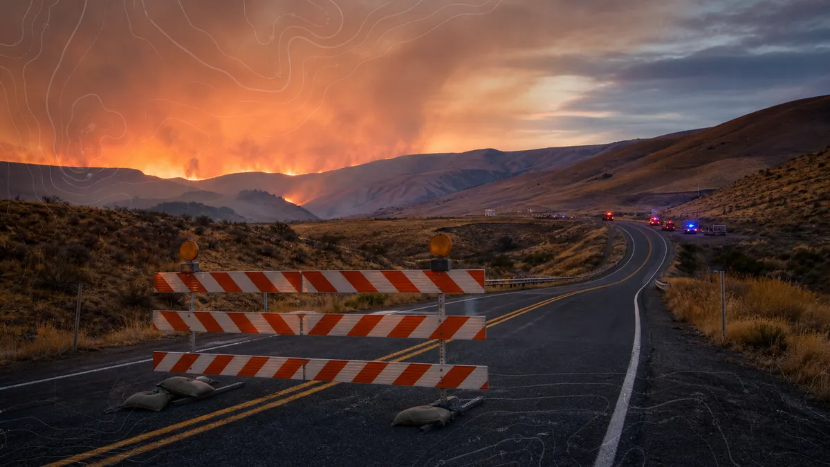
A fast-moving wildfire near Orondo and Lake Chelan forced Level 3 "Go Now" evacuation orders on Saturday, July 4, 2026, as flames spread through dry hills in central Washington.
Local officials and news outlets reported that the Chelan Hills Fire grew from an early-morning start into a major response by Saturday night. KIRO 7 reported that the Douglas County Sheriff's Office estimated the fire at roughly 15,000 to 20,000 acres late Saturday, while KHQ, citing Washington fire officials, reported an earlier estimate of at least 10,000 acres.
The practical message for anyone near the fire zone is direct: follow evacuation orders from local authorities, not social media screenshots or outdated maps. Level 3 means leave now. Officials also reported closures on U.S. 97 in the area, and a Red Cross shelter was set up at Chelan Elementary School for people displaced by the fire.
Why it moved so fast
KHQ reported that Washington State Patrol first said state fire resources were being mobilized after the fire started shortly after midnight. Local updates later said the fire had jumped McNeil Canyon and was spreading north and northeast, pushed by wind through dry fuels.
That combination matters because wildfire evacuation zones can change faster than residents or holiday travelers expect. A road that looks open in the morning can close by afternoon. Smoke, darkness and emergency traffic can make waiting more dangerous, especially in canyon and hillside areas with limited escape routes.
The fire also hit during a holiday travel window, when people may be camping, visiting short-term rentals or driving through unfamiliar roads. That raises the cost of confusion. Visitors should not assume they will receive the same local alerts as full-time residents, and residents should expect detours and emergency access needs to change quickly.
Washington's wildfire pattern is another reason to watch the story closely. Recent fires around Lake Chelan had already put emergency managers, residents and visitors on alert. When another blaze starts in dry grass and brush, the first few hours can decide whether it stays a local incident or becomes a wider evacuation problem.
What to check now
People in Douglas County and nearby Chelan travel areas should check the Douglas County Sheriff's Office, county emergency management pages, Washington State Patrol road updates and local fire information before driving toward the area. If an address enters a Level 3 zone, leave immediately, take medications and key documents if they are already within reach, and avoid returning until officials say it is safe.
For readers outside the evacuation area, the lesson is still useful. July Fourth weekends can combine fireworks, dry grass, wind, full campgrounds and heavy traffic. If you are in wildfire country, turn on local emergency alerts, know two ways out, keep fuel in the car and do not assume a visible smoke column is far enough away to ignore.
KIRO 7 reported no deaths or injuries as of its late Saturday update, but at least a dozen homes and buildings had burned. Those numbers can change as crews get better access, so the safest next step is to treat official evacuation maps and road closures as the source of truth.


