
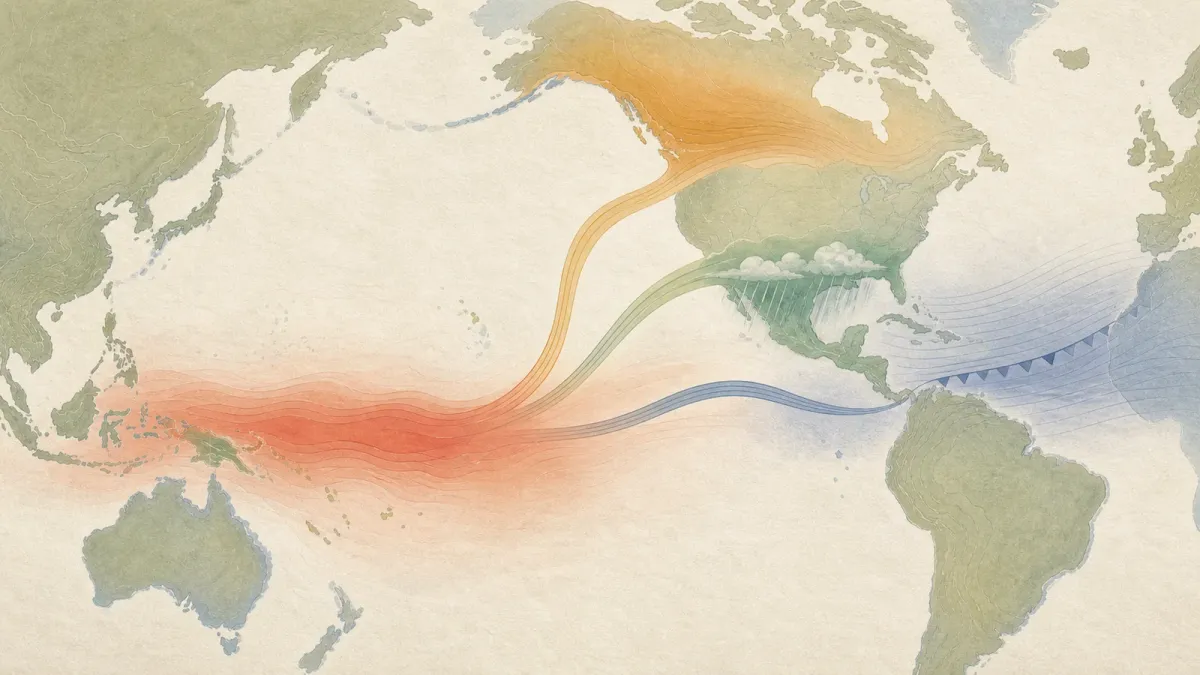
NOAA's latest El Nino outlook says the Pacific climate pattern is strengthening and has a 97% chance of lasting into early spring 2027, a signal that can reshape winter weather odds across the United States and other regions.
The July 9 update from the Climate Prediction Center puts an 81% chance on a very strong El Nino during October through December. That would place the event among the largest in records that go back to 1950, though forecasters caution that even strong El Ninos do not guarantee the same outcome in every place.
The practical takeaway is not that a specific storm is coming. It is that seasonal risks are tilting: the southern U.S. often sees a wetter winter pattern, northern areas can lean warmer, and the Atlantic hurricane season can be dampened by stronger wind shear.
The short answer
El Nino is a months-long warming of the central and eastern tropical Pacific Ocean that changes atmospheric circulation. When the ocean and atmosphere lock together, the pattern can steer storm tracks, alter rainfall zones and release extra heat into the global climate system.
In the current forecast, NOAA says the weekly Nino-3.4 index was 1.2 degrees Celsius above average, while warmer water and wind patterns showed the ocean-atmosphere system strengthening. The World Meteorological Organization's July to September seasonal update also points to rapid development into a strong El Nino, with high model confidence.
What it can change
For U.S. readers, the main watch zone is winter. A strong El Nino often increases the odds of wetter conditions across parts of California, the southern Plains, the Gulf Coast and the Southeast. That can matter for drought recovery, reservoir planning, flood preparation and agriculture.
The same pattern can reduce Atlantic hurricane activity by adding upper-level winds that make it harder for storms to organize. It does not eliminate hurricane risk, and it does not stop local flash flooding, heat waves or wildfire smoke from happening during the summer.
Globally, WMO says July to September forecasts show broad odds for above-normal land temperatures and structured shifts in rainfall, including drier signals for parts of the Indian Subcontinent, Australia, Central America and the Caribbean. Those are probability forecasts, not promises for every city or farm.
What to watch next
The next NOAA ENSO diagnostic discussion is scheduled for August 13, 2026. The details to watch are whether the Pacific warming keeps intensifying into fall, whether atmospheric coupling stays strong, and how regional seasonal outlooks translate the global signal into local rainfall and temperature probabilities.
For households, the best use of the forecast is practical: review flood insurance before storms are in the forecast, check local drought and reservoir updates, and treat seasonal outlooks as early planning tools rather than day-by-day weather forecasts.


