
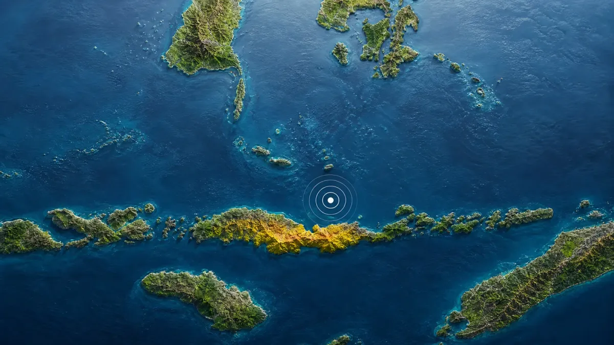
A magnitude 7.7 earthquake struck near Indonesia's Flores island early Saturday, prompting a tsunami warning for coastal areas in parts of four provinces and sending residents toward higher ground.
Indonesia's Meteorology, Climatology and Geophysics Agency, known as BMKG, placed the quake 30 kilometers northeast of Mbay in East Nusa Tenggara at 4:58 a.m. Western Indonesian Time on August 15. The agency reported a depth of 15 kilometers and said the event had tsunami potential that should be relayed to the public.
Damage reports were still preliminary. The Associated Press reported damage to homes and public facilities around Flores, including a collapsed waiting area at the Maumere port terminal and a roof collapse at a seminary. One priest suffered a broken leg after jumping from a second floor, while officials had not yet released a casualty total.
What changed
The U.S. Geological Survey reviewed the earthquake at magnitude 7.7 and a depth of 10 kilometers, with an epicenter 68 kilometers north-northwest of Ende. The small difference from BMKG's location and depth reflects separate agency analyses that can be refined as more seismic data arrive.
Strong aftershocks followed. BMKG's public feed listed multiple events above magnitude 5 in the first hour, including a magnitude 6.2 shock. That continuing sequence can complicate damage checks and keep people away from buildings already weakened by the initial shaking.
What residents were told
BMKG's warning covered parts of East Nusa Tenggara, West Nusa Tenggara, South Sulawesi and Southeast Sulawesi, according to AP. Residents in the affected coastal zones were told to move to higher ground and stay away from beaches and riverbanks while tide gauges were monitored.
The warning is location-specific. People in Indonesia should follow BMKG and local emergency officials for the latest evacuation boundaries rather than relying on social posts or a warning issued for another coastline. The agency's live earthquake feed continued to carry tsunami-potential language during The Daily Newsfront's reporting.
What remains unknown
Authorities had not published a full count of damaged buildings or confirmed the scale of injuries. Early reports from Sikka and Maumere establish that the quake caused structural damage, but they do not show conditions across every community close to the epicenter.
The next useful updates will be any change to the tsunami warning, measured sea-level changes, official injury figures and local damage assessments. Until those arrive, the clearest confirmed facts are the magnitude 7.7 main shock, strong aftershocks, reported building damage and the four-province coastal warning.


