
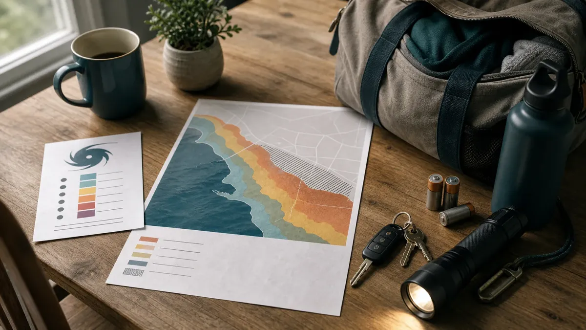
When a tropical system is in the news, the headline number is usually the hurricane category. That number matters, but it is only a wind scale. For people near the coast, bays, rivers or low-lying roads, the more urgent question may be how much water could move inland and whether local officials might order evacuations.
The National Hurricane Center says the Saffir-Simpson scale rates hurricanes from Category 1 to Category 5 using maximum sustained wind speed. It does not account for storm surge, rainfall flooding or tornadoes, all of which can turn a lower-category storm into a serious local hazard.
Use the category as one clue, not the whole forecast. Before a storm gets close, check the surge forecast, your evacuation zone, the timing of tropical-storm-force winds and local emergency orders.
The short answer
A hurricane category tells you how damaging the wind could be. Storm surge tells you whether rising water could move from the shoreline into streets, homes and evacuation routes. A Category 1 or 2 storm can still produce dangerous water in the wrong place, especially where geography funnels water into bays, estuaries, canals or low coastal neighborhoods.
Do this first
- Find your evacuation zone before there is a named storm. Many coastal states and counties publish zone maps that are separate from flood-insurance maps.
- Read storm surge watches and warnings. A storm surge watch generally means life-threatening inundation is possible within about 48 hours; a warning means the danger is expected within about 36 hours.
- Compare timing, not just intensity. Preparations and evacuations become harder once tropical-storm-force winds arrive.
- Follow local orders. National products explain the hazard, but local officials decide which zones should leave and which routes are open.
Why categories can mislead
The category is built around wind at the storm's strongest point. Water risk depends on more than that. Storm size, track angle, forward speed, coastline shape, tides, seafloor slope and rainfall can all change where water piles up and how far it travels inland.
The National Hurricane Center's storm surge maps are designed to show that the risk is not only a beachfront problem. In some coastal regions, water can extend miles inland or move up rivers and canals. That is why two places under the same category forecast can face very different decisions.
What to check
Start with the latest National Hurricane Center advisory, then look for the storm surge watch/warning graphic and the potential storm surge flooding map if they are available for the system. Next, check your state or county emergency-management site for evacuation zones, shelters, bridge closures and local road guidance.
If you live inland, do not ignore the storm because it is no longer a major hurricane. Rainfall flooding, downed trees and power outages can spread far from landfall. If you live on the coast, do not stay just because the wind category sounds manageable. Surge warnings and evacuation orders should carry more weight than the category alone.
Bottom line
The category answers one question: how strong are the winds? Your safety plan needs a wider set of answers: where water could go, when travel becomes unsafe, whether your zone is called and what local officials are telling residents to do on that exact date.


