
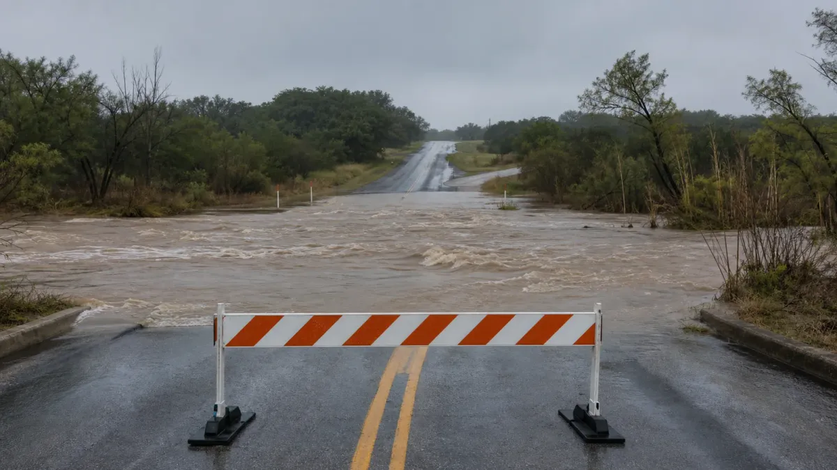
Water rescues were still underway in parts of Texas on Friday, July 17, 2026, after days of heavy rain pushed creeks, rivers and low-water crossings into dangerous flood conditions across parts of the state.
The Associated Press reported that emergency crews using boats and helicopters had rescued more than 200 people since storms began Tuesday, while at least two deaths had been reported. The active risk shifted Friday toward areas west of San Antonio, including Crockett, Sutton and Zavala counties, where officials said roads were flooded or impassable.
What changed Friday
The National Weather Service in San Angelo issued a flash flood warning at 12:33 p.m. CDT for Crockett County, western Schleicher County and western Sutton County, saying emergency management reported heavy rain and that 2 to 8 inches had already fallen in the warned area. Additional rainfall of 1 to 3 inches was possible.
Earlier Friday, the weather service described a flash flood emergency in and around Ozona and parts of Crockett County as a particularly dangerous situation. The warning told residents in affected areas to seek higher ground and avoid travel unless fleeing flood danger or following an evacuation order.
Texas officials had already activated a broader response. Gov. Greg Abbott issued a disaster declaration for 59 counties on July 14 and directed the Texas Division of Emergency Management to keep the State Emergency Operations Center at Level II, an escalated response posture, as repeated rounds of rain threatened Southwest, Central and Southeast Texas.
Why it matters
Flash flooding can turn routine roads into traps before drivers realize the water is too deep or moving too quickly. The National Weather Service repeated its standard warning Friday: turn around, do not drive through flooded roads and do not go around barricades.
Several reported impacts were transportation-related. AP reported floodwater over Interstate 10 near Ozona, the collapse of part of a bridge over the Nueces River in Uvalde County, and a 50-mile closure of U.S. Highway 57 from La Pryor to its junction with Interstate 35 southwest of San Antonio.
What to watch next
People in affected counties should use local National Weather Service alerts, county emergency management updates and road-condition tools before traveling. Downstream river flooding can continue even after rain eases, so reopened roads, evacuation notices and flood warnings may change through the weekend.


