
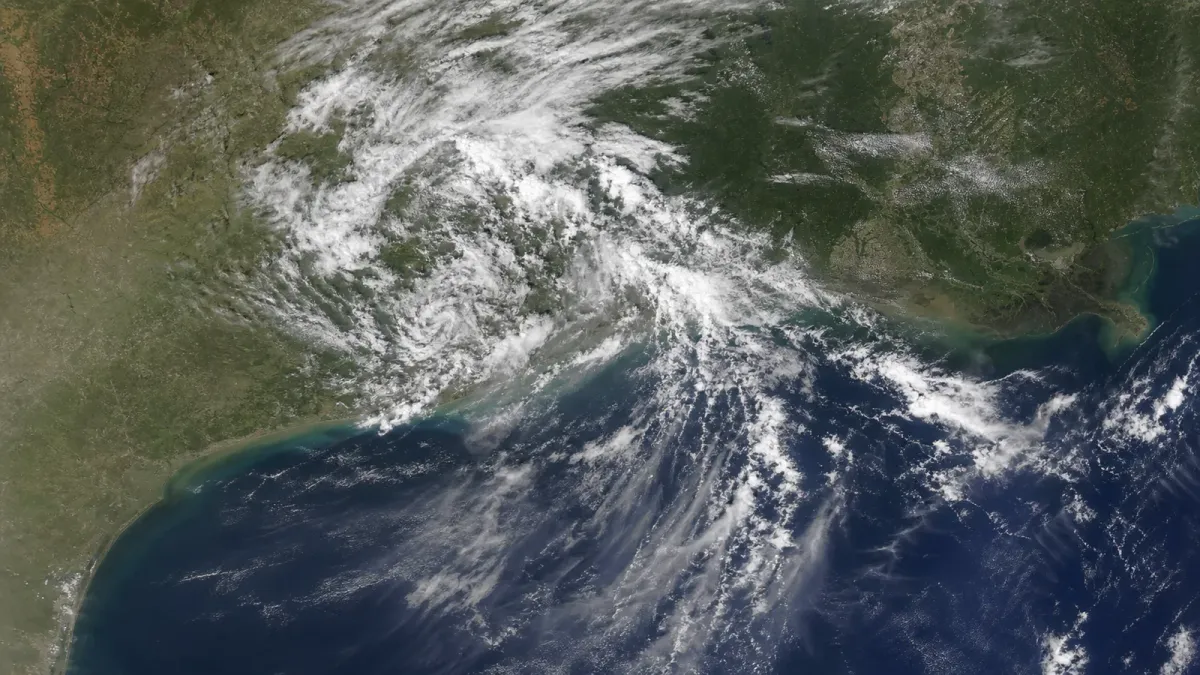
Bertha dissipated over eastern Texas late Thursday, July 23, after losing the closed circulation needed to remain a tropical cyclone. The National Hurricane Center issued its final advisory at 10 p.m. CDT and said the system had opened into a trough about 40 miles west-northwest of Houston.
All coastal watches and warnings have ended, but the hazards did not disappear with the storm's name. The remnants could still bring locally heavy rain to eastern and southern Texas overnight, while elevated water, dangerous surf and rip currents linger along parts of the Louisiana and Texas coasts.
What changed
Surface observations over eastern Texas showed that Bertha no longer had a well-defined center, the hurricane center said. Its last reported maximum sustained winds were 35 mph, and the remnants were moving west at about 14 mph.
The downgrade came after Bertha made a second Gulf Coast landfall Thursday near the Texas-Louisiana line. The Associated Press reported that the storm crossed the coast with 45 mph winds after first grazing southern Louisiana on Wednesday. No deaths or significant damage had been reported at the time of the AP update.
Flooding remains the main overnight concern
The NHC forecast an additional 1 to 3 inches of rain over South Texas, with isolated totals near 4 inches. That rain could cause isolated flash flooding, especially in urban areas.
The Weather Prediction Center separately warned Thursday evening that urban flash flooding was possible near and southwest of the Houston metropolitan area. Earlier thunderstorms had already produced heavy rain in parts of Harris and Fort Bend counties, where local warnings described ongoing flooding and high short-term rainfall rates.
Drivers should not treat the end of tropical advisories as an all-clear. If water covers a road, turn around instead of trying to judge its depth. Local National Weather Service warnings remain the source for street-level flood threats because conditions can vary sharply across a metro area.
Coastal hazards will ease more slowly
Water levels may remain elevated through the next high-tide cycle along the Louisiana and Texas coast before subsiding, according to the NHC. Swells from Bertha's remnants are also expected to keep life-threatening surf and rip-current conditions in place through Thursday night.
Beachgoers should follow local flag systems and weather-office guidance even where skies are improving. Rip currents can remain dangerous after a tropical system has moved inland or dissipated.
What happens next
The hurricane center does not plan additional advisories because Bertha has dissipated. Local weather offices will continue issuing any needed flood, marine or beach-hazard alerts.
The immediate story now shifts from Bertha's track to its remaining effects: overnight rain in Texas, the next coastal high tide and reports of any damage or disruptions from its slow passage along the northern Gulf Coast.


