
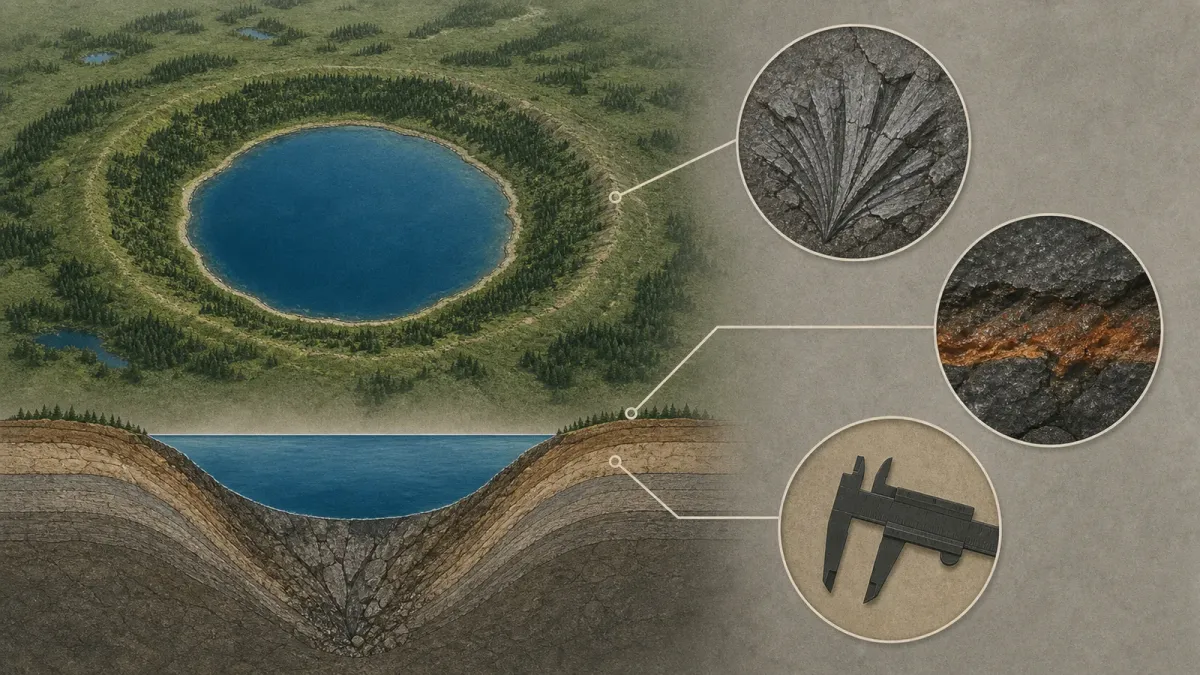
A new crater story is moving through science feeds because it started with something ordinary: a person looking closely at an online map. The structure, now called Uhackatik, sits around Lake Marsal in Quebec's Cote-Nord region and is listed in the 2026 Meteoritical Society program as a new 25-kilometer-wide impact structure about 390 million years old.
The useful lesson is not that every strange circle on a satellite image is a crater. It is the opposite. A map can raise a question, but the claim has to survive a much stricter test before it belongs in the science record.
The short answer
A real impact crater needs diagnostic evidence in the rocks. Shape helps researchers decide where to look, but it does not prove what happened. Scientists look for minerals and textures that ordinary erosion, volcanoes, glaciers and collapsed ground do not usually make.
For Uhackatik, researchers are pointing to two major clues: shatter cones and impact melt rocks. The Meteoritical Society program says the team will present the site on August 14, 2026, in Frankfurt, Germany, and describes preserved shatter cones and about 50 meters of impact melt rocks at the structure.
How scientists check the proof
The first clue is geometry. A circular basin, a raised rim, a central low area or ring-like terrain can make a site worth investigating. That is how the Uhackatik story began after amateur astronomer Joel Lapointe noticed an unusual round feature while planning a trip through northern Quebec.
Geometry is only a lead. Earth makes circles in many ways. Volcanoes, sinkholes, salt movement, erosion around harder rock, glacial carving and human reservoirs can all fool a casual viewer. That is why researchers do not confirm a large impact structure from the screen.
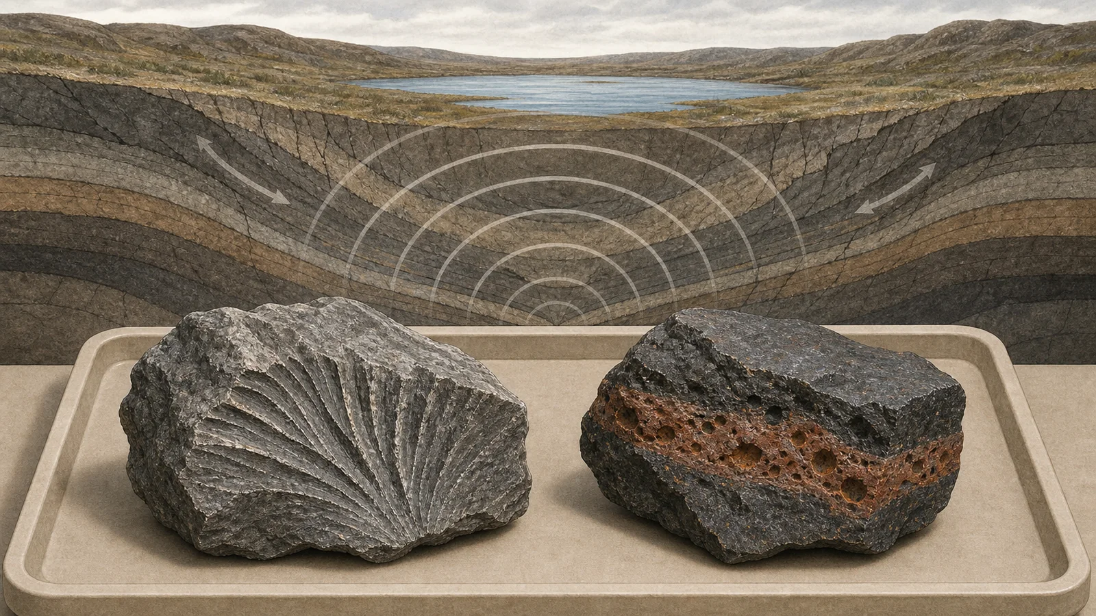
The stronger evidence comes from shock. A meteorite impact releases pressure and heat in a short, violent event. Shatter cones are one visible clue: branching, cone-like fracture patterns in bedrock that point to shock waves moving through the ground. They are useful because they are hard to explain with slow, ordinary geology.
Impact melt rock is another clue. In a large strike, part of the crust can melt, mix and cool into rock that records the energy of the event. Space.com reported that Gordon Osinski's team found shock metamorphic effects at Uhackatik and is still studying the chemistry and microscopic features of the samples.
Dating matters too. A crater's age has to fit the rocks and the region around it. The new conference listing puts Uhackatik at about 390 million years old, during the Devonian Period. That number should be treated as a scientific result being presented and tested, not as a finished textbook entry. The research has not yet gone through the full cycle of peer-reviewed publication.
Why the distinction matters
The internet is good at turning an image into a claim before the evidence catches up. The Uhackatik case is interesting because it shows the better version of that process. A non-specialist noticed a pattern, contacted people who knew how to test it, and the claim moved from curiosity to fieldwork, samples and a formal scientific meeting.
It also shows why most map-based crater claims fail. Smithsonian Magazine noted that Osinski regularly receives possible-crater tips through his impact work, and most do not hold up. That is not a reason to ignore observations; it is a reason to separate a promising lead from a proven origin.
Confirmed impact structures are rare because Earth keeps erasing its own record. Erosion, tectonics, water, ice and vegetation blur old scars. A 25-kilometer structure that still preserves field evidence is valuable because it helps scientists compare Earth with the Moon, Mars and other rocky worlds where impact craters are easier to see.
What to watch next
The next checkpoint is the August 2026 Meteoritical Society presentation. Useful follow-up questions include whether the team publishes the full petrography and geochemistry, how the age estimate is refined, and whether the site is added to formal impact-crater databases after review.
For readers, the rule is simple: a circular map feature is a starting point, not proof. The proof is in the rock, the measurements, the dating and the willingness of other specialists to challenge the claim.


